
Phoenix Air Unmanned offers professional drone services in Panama City, Florida for demanding aerial imaging work across transportation, survey, mapping, engineering, linear infrastructure, film and more. As leaders in the regulatory space, we are ready to help you secure the aerial imagery your project needs. Our fleet of complex drones and professional commercial-grade sensors is backed by a proven record of industry leadership in data acquisition and regulatory compliance. Staffed by aviation professionals with an unmatched background in delivering high-accuracy drone LiDAR survey data on quick turnaround times, Phoenix Air Unmanned pairs drone LiDAR with high-resolution RGB cameras to colorize point clouds and bring greater detail to the area of interest. Orthomosaics can also be generated from the collected imagery, giving end users a higher level of mapping visualization and a digital twin for their specific project. Let us help your company work through the regulatory requirements and receive the complete data set your project demands.
Drone Services in Panama City, FL
Professional LiDAR drone services for transportation projects, surveying, mapping, linear infrastructure and more — actionable data acquisition delivered by professional UAS operators.
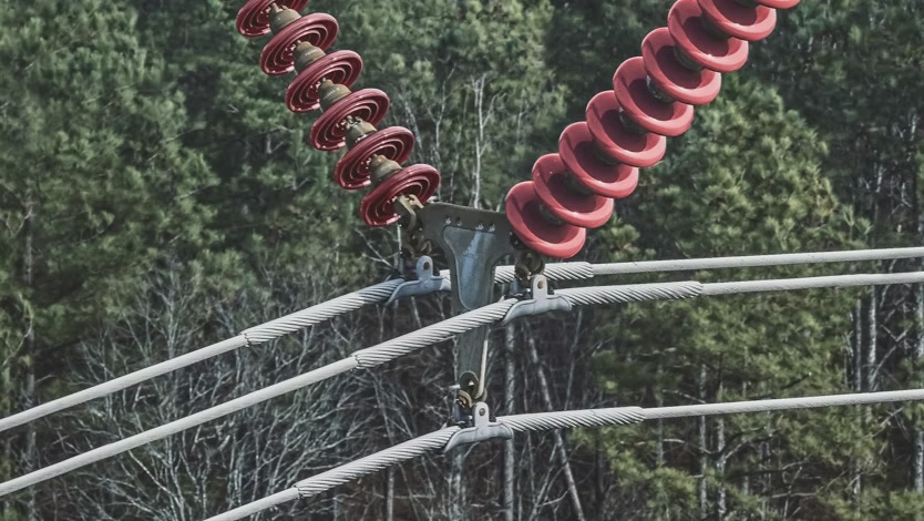
From point cloud colorization to orthomosaic generation, Phoenix Air Unmanned builds complete aerial data sets for Panama City projects. Our aviation professionals handle regulatory compliance alongside data acquisition, so your team can focus on the survey, mapping or inspection work itself. Reach out to discuss the imagery and deliverables your project requires.